Scattered downpours, hazy conditions across central Maryland Saturday

Temperatures range from the upper 60s in Cecil County, to near 80° in Baltimore and mid-80s in southern Maryland Saturday afternoon. A front has stalled across Maryland. It remains cooler north of the front and warmer south of it through early evening. The same front will also help trigger showers and storms through the rest of Saturday.
Storms increase across Maryland Saturday evening
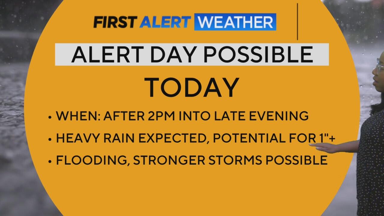
The boundary stalled across Maryland will interact with warm temperatures and plentiful moisture to produce showers and thunderstorms Saturday evening. A Flood Watch has been expanded into more of central Maryland, including portions of the Baltimore Metro through mid-evening.
While not everyone will get poured on, a few spots could see a quick 2" of rain. Isolated spots could see double that through the course of the evening - especially southwest of Baltimore. Road flooding is possible where the heaviest rain falls. A few storms could also become strong; producing gusty winds and small hail.
In addition to the chance of summer downpours, a Code Red air quality alert is in effect for Harford and Cecil Counties through late Saturday. A Code Orange Air Quality alert is in effect for Baltimore. New Jersey wildfire smoke continues to be trapped closer to the surface, in addition to city pollutants.
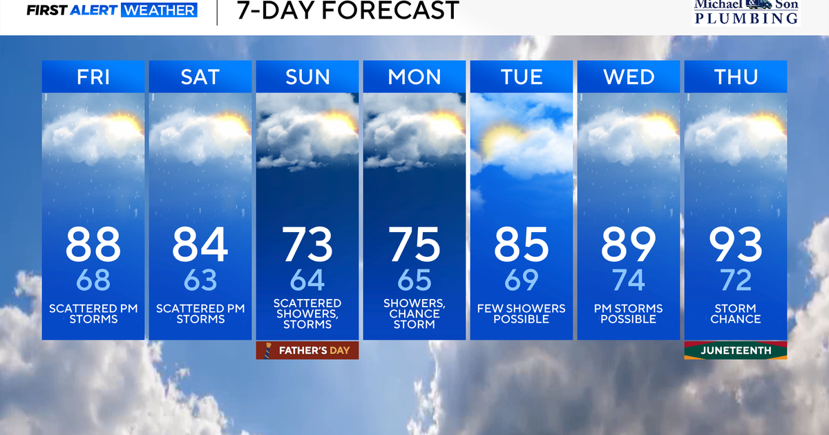
Plan on cooler Father's Day weather
We'll wake up to areas of dense fog and cooler temperatures Sunday morning. Plan on temperatures in the low to mid-60s across central Maryland. Areas of light rain and drizzle are possible early in the morning. There will still be some dry time for plans Father's Day. However, additional showers and a couple storms may develop through the afternoon. Temperatures remain in the upper 60s and 70s across the Baltimore metro through the afternoon.
You can keep an eye on the forecast, even as you're out and about, by downloading the CBS News App.
Rounds of rain, thunder will impact Maryland into next week
Another couple fronts are set to sweep through Maryland. Plan on a boost in the chance of rain Monday, followed by another Wednesday into next Thursday. It won't rain constantly. But, brief heavy rain and a couple strong storms remain possible. Temperatures warm back into the upper 80s and lower 90s by the end of the workweek.