Severe storms possible in Southeast Michigan Wednesday. Here's what to expect.

A new area of low pressure and a front will move into Southeast Michigan on Wednesday. Storms are likely to be strong to severe along and ahead of the front.
The CBS Detroit NEXT Weather Team has declared Wednesday a NEXT Weather Alert Day.
Most of Southeast Michigan is rated 2 out of 5 on the severe risk scale by the Storm Prediction Center.

Storms will move in by 3 p.m. on Wednesday and will stick around into the night.

Most of the stronger storms will move in late afternoon Wednesday and into the evening.

Some lingering rain will be around on Thursday for Juneteenth.
The main threats will be strong, damaging winds at 60 miles per hour or higher, as well as one-inch hail. We can't rule out the chance for a couple of storms to rotate. This could lead to a tornado or two through the evening hours on Wednesday.

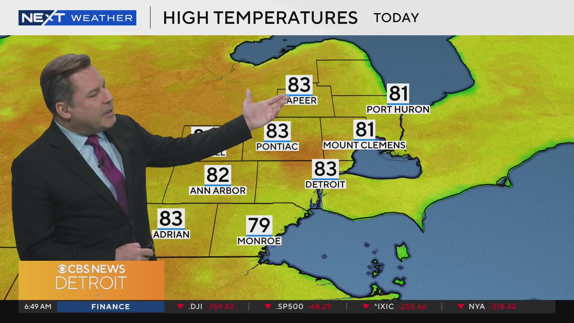
There will be lots of warm, humid air ahead of the system. Feels like temperatures will be in the mid-90s for Tuesday and Wednesday before the storms.

The heat and humidity will act as fuel for storms ahead of a front. It will feel like the triple digits by the weekend with actual highs in the low 90s.


