Strong storms possible in Southeast Michigan Friday and Saturday

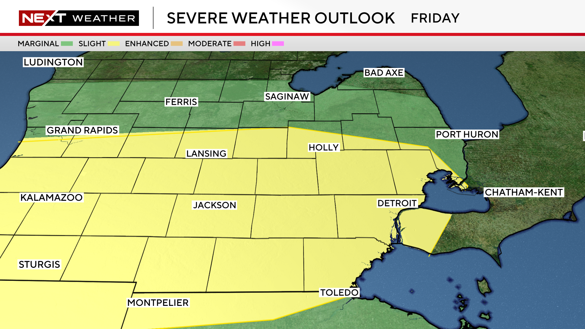
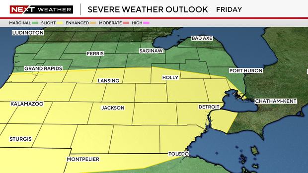
Nearly all of Southeast Michigan is under a slight (2/5) risk for showers and storms on Friday, with the rest of the area under a marginal risk.
The CBS News Detroit NEXT Weather team has declared Friday and Saturday as NEXT Weather Alert Days.
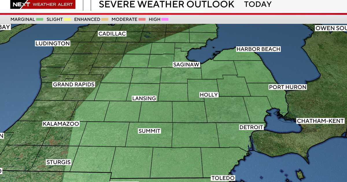
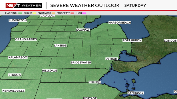
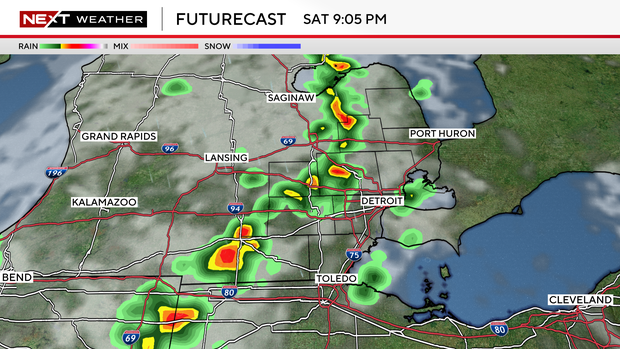
All of Southeast Michigan is under a marginal (1/5) risk on Saturday with isolated severe storms and heavy rainfall possible each day.
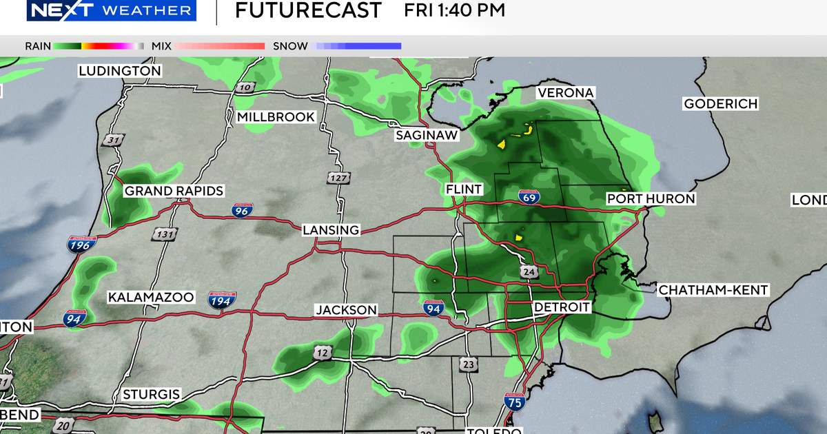
The forecast for Friday will be sensitive to the development and strength of a system of thunderstorms in the upper Midwest that is expected to track across Lake Michigan early Friday morning.
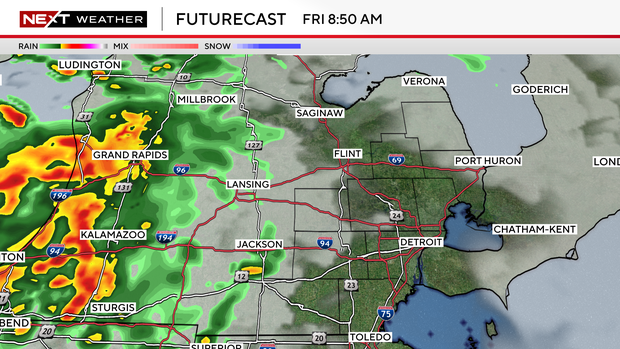
These storms look likely to weaken by the time they reach mid-Michigan, but there is potential for new storms to trigger along the outflow boundary later in the afternoon.
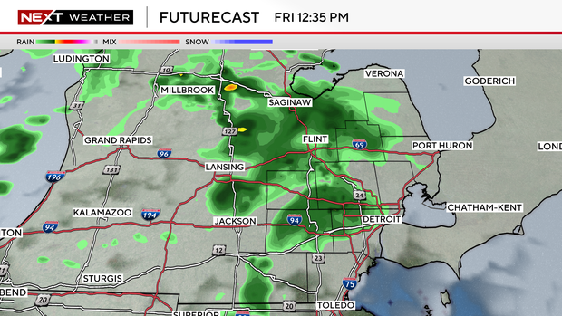
Storm strength will be determined by how much moisture and instability move into southeast MI through the first half of the day.
If storms are triggered, the environment would support heavy downpours with rainfall rates in excess of 1 inch per hour, and slow storm motion could lead to localized flooding.
A low-pressure system and moisture from southwest winds bring another chance of storms on Saturday. Storms are expected ahead of and along a cold front that is expected to arrive Saturday night. Storms may linger through the early hours on Sunday morning.
Strong winds, hail, isolated flooding, and a low tornado risk are possible both days.