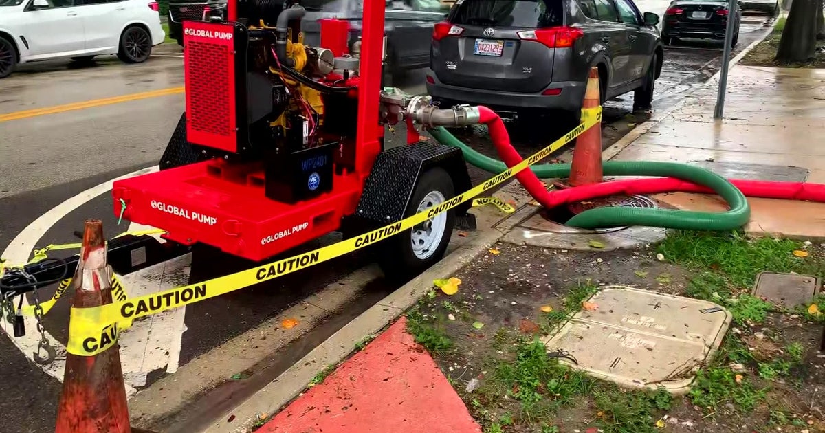
Flood watch canceled for Miami-Dade and Broward, scattered showers remain

Wednesday will be a transitional day as wet weather will not be as intense nor as widespread as it was earlier in the week.
The widespread rain we've experienced over the last few days will end around midday. A flood watch for Miami-Dade and Broward has been canceled. Expect a few showers throughout the day, but flooding is no longer expected to pose a threat.
Here's what to expect
While scattered storms capable of producing a quick 1 to 2 inches will be most common on Wednesday, there is potential for a band of storms to impact the same area with heavy rain multiple times, according to the National Weather Service. It said that if this occurs, a quick 4 to 6 inches of rainfall is not out of the question.
The chance of rain is highest through midday and will start to decrease in the afternoon. There is a low level risk of flash flooding.
The reason for the relentless rain is a low pressure system over the Gulf of America. On Wednesday, it will begin to move north so South Florida's weather will improve. Adding to that improvement is Saharan dust which is moving in.
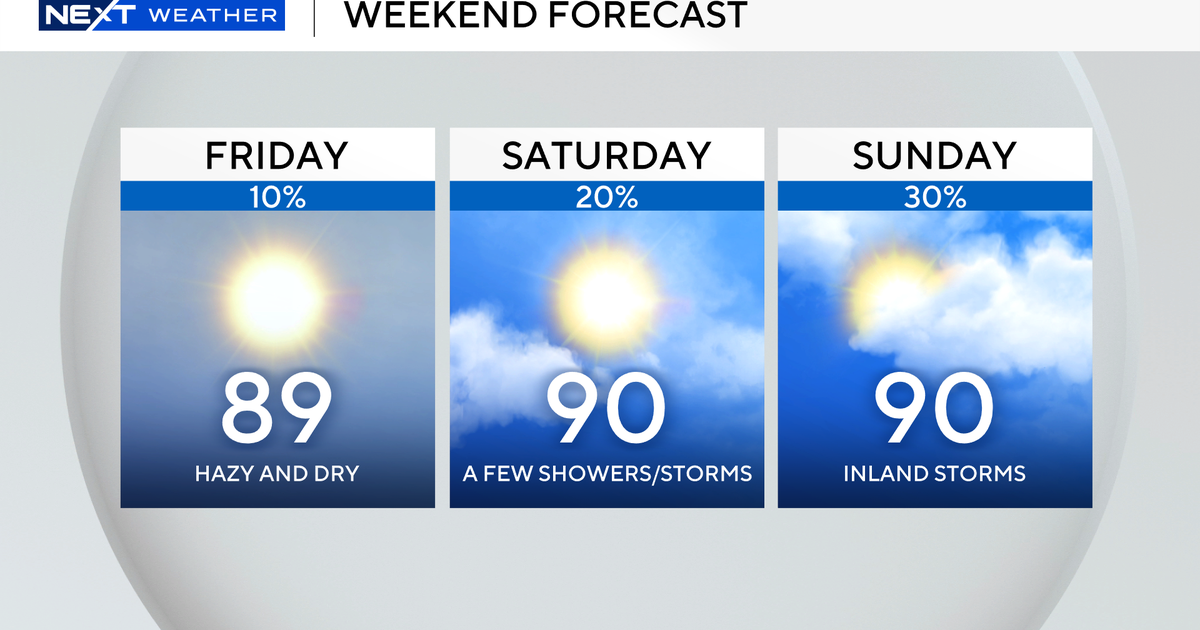
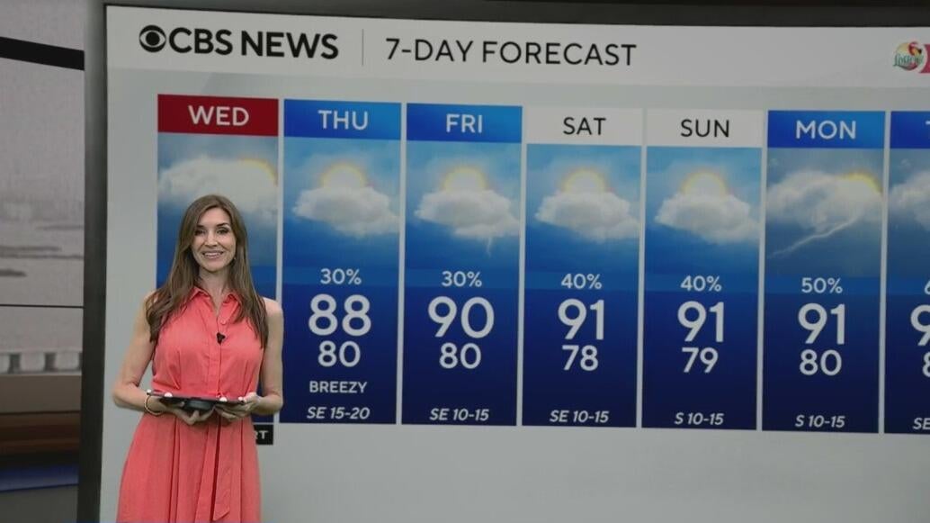
On Thursday, the chance of rain is 60% and that drops to 30% on Friday.
Saturday and Sunday will see a more typical rainy season pattern with the highest chances of showers over the coastal areas in the morning and then shifting towards the interior during the afternoon
Afternoon highs will be around 90 degrees.