Thunderstorms expected today around NYC area. Map shows where storms could be severe.

Heavy rain and thunderstorms may lead to some localized flooding Tuesday around the New York City area.
It's a First Alert Weather Day, mainly from mid-morning through early afternoon.
Thunderstorms in the forecast today

Lots of clouds, mist and drizzle are in place to start the day but will soon be replaced by a round of heavy rain and thunderstorms later this morning, roughly between 7 a.m. and 12 p.m. While the severe threat is not terribly high, a few severe storms may develop.
Of greatest concern with this heavy batch of rain will be the chance of localized flash-flooding, with rainfall totals averaging between .50-1". Some locations may receive higher amounts.

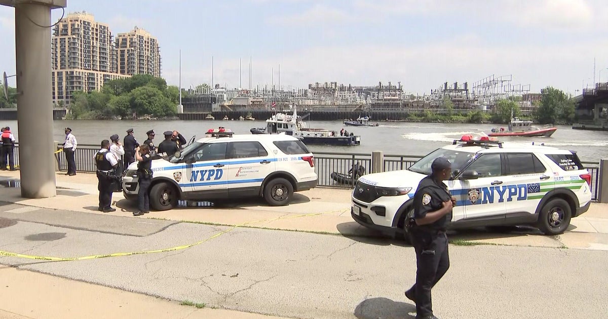
A flood advisory was in effect until 12:15 p.m. for portions of Westchester, Bronx, Bergen, Essex, Hudson, Union, and New York counties.

As quickly as the rain moves in, it clears out by the afternoon, leading to mostly sunny skies and just a slim lingering chance of a stray shower or storm.
Highs return to normal levels for early June in the mid-to-upper 70s with noticeable humidity. For tonight, skies clear out and humidity drops, as well. Lows will range from the upper 50s to the mid 60s.
Sunshine returns tomorrow

Once Wednesday rolls around, a new airmass will be in place, featuring lots of sunshine, lower humidity and warmer temperatures. Highs will be in the low to mid 80s.
Even warmer temperatures lie in store for Thursday. By then, many locations should see highs in the mid-to-upper 80s. Low 90s are even possible in some spots.
Live radar around Tri-State Area
Stick with our First Alert Weather team for the latest forecast, live radar and weather alerts.