New California fire maps show which areas in the Sacramento region are most at risk. See where your home stands

A recent CBS News study revealed that more homes in the Sacramento area are at risk of wildfire. The findings show that more than 90% of homes are in the Wildland Urban Interface, or areas where urban communities and houses meet forested or natural landscaped areas.
"Well, it's very surprising," said Jenny Ferreira, who lives in Elk Grove.
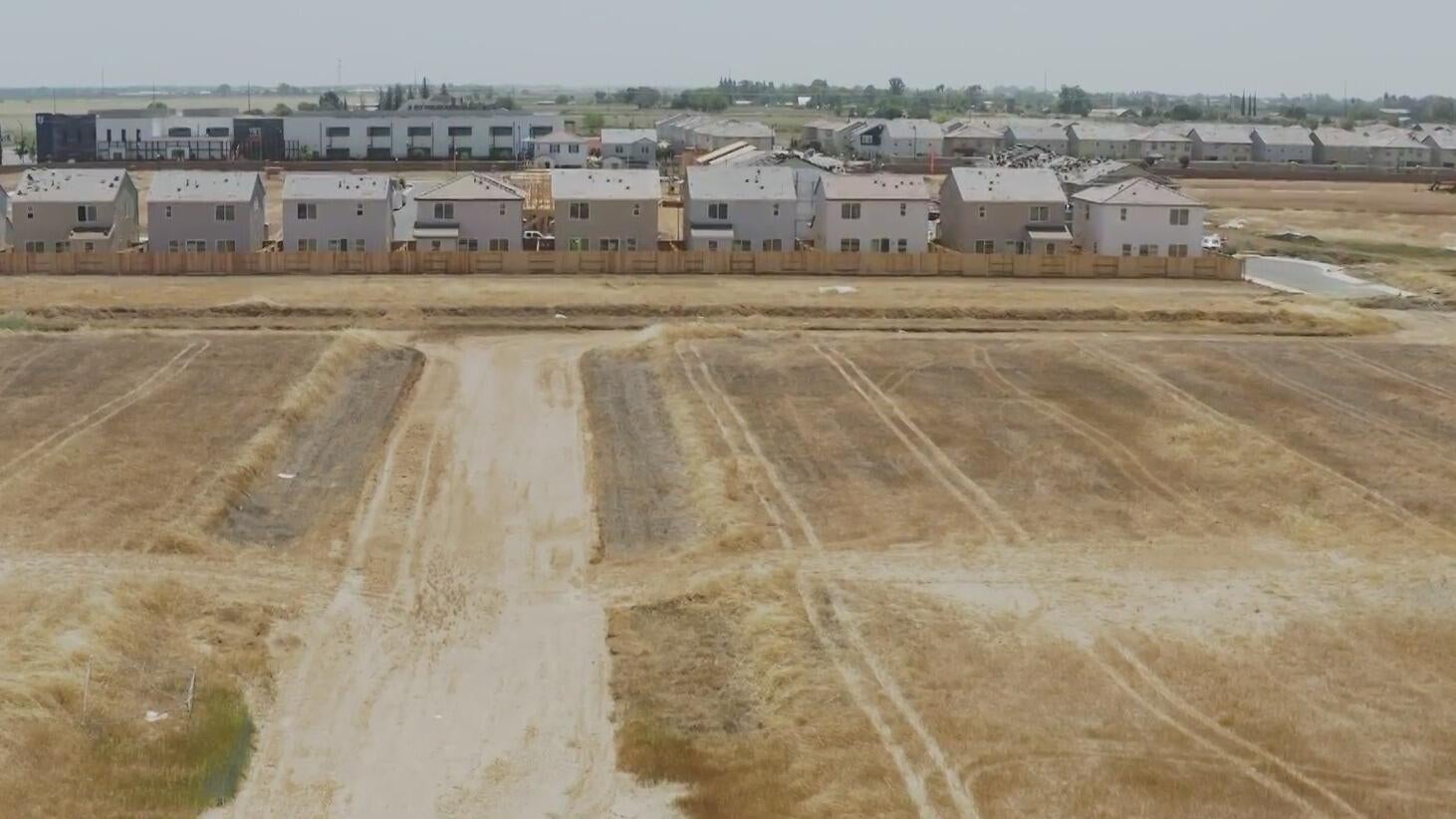
The findings come as a surprise to some residents like Ferreira. CBS News collected data that shows the number of homes in the WUIs has exploded in Elk Grove, specifically in the southern area near the Sky River Casino.
According to the data, 85 homes were in the WUI in 1990 compared to close to 10,000 homes in 2020, and the area just keeps growing.
Cal Fire recently released fire hazard severity maps, but on the maps, one part of Elk Grove is not highlighted as a severity zone.
CBS News Sacramento got answers directly from the state fire marshal on why.
"Hazard is really the likelihood of a fire and risk is really looking at the damage the wildfire is going to do," said California State Fire Marshal Chief Daniel Berlant.
Berlant said the Cal Fire maps only look at hazards, which are based on long-term factors like topography, weather, fire history and vegetation type that cannot change, whereas fire risk can change.
"What was the home built out of? Does that home have defensible space? Is there water supply? Is there a fuel break? Is there fire protection?" Berlant said.
CBS News Sacramento asked him if it is safe to build communities in the WUIs. Chief Berlant responded, yes, as long as you follow Cal Fire's building codes, home harden and have five feet of defensible space.
"The challenge is 90% of homes in wildfire-prone areas were built before this current code went into effect in 2008," Berlant said. "Our challenge is how can we help homeowners retrofit their home."
Consumnes Fire defines most areas around Elk Grove as grassland. Cal Fire said if a fire were to ignite here, it would not burn as severely as in a mountain community that is surrounded by forest.
Although that does not mean the homes are completely out of the woods.
According to CBS News' data collected from the First Street Foundation, 35% of homes in the Sacramento region could be at "major risk" of wildfire in the next 30 years and 19% of homes at "severe risk."
"I might look into converting my grass into rocks," said Vonn Lam, who lives in Elk Grove.
Lam has lived in the area since 2005 and never felt threatened by fire, but it is on her radar now.
"I do need to be mindful of all the vegetation near me," Lam said. "I am very worried about the insurance going up and a lot of insurance is not covering California because of the fires."
Berlant said the issue is that there is no consistency with risk models, which are typically what insurance companies use to determine who to insure.
"While we are mapping hazards, insurance companies are mapping risk," Berlant said.
Cal Fire is researching how fire spreads from one home to another to better understand risk.
"Regardless, if you live near an area that is near a field, a grassland, a forested area, you should be prepared," Berlant said.
We cannot change the terrain, but we can change how we live in the terrain - working together to prevent another devastating wildfire.


