Weather maps show storms could bring small hail to Boston area today. Track them on live radar.

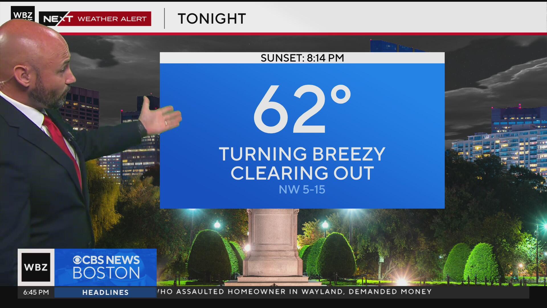
The WBZ Weather Team is issuing a Next Weather Alert as several rounds of storms are expected to impact the Boston area throughout the day. If you're making Sunday plans, keep an umbrella handy and stay weather-aware.
Slight risk of severe weather
Most of southern New England is under a slight risk for severe thunderstorms today. That's a level 2 out of 5 on the severe weather scale and includes eastern Massachusetts, Rhode Island, Connecticut, and parts of southern Vermont and southern New Hampshire.
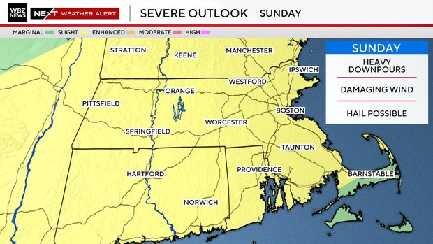
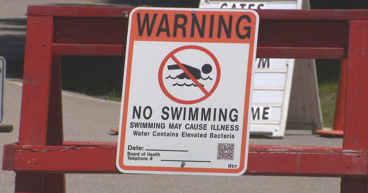
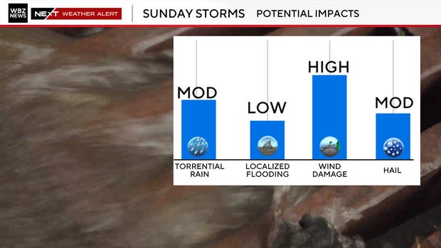
The primary concern will be damaging wind gusts, but some storms could also bring small hail, frequent lightning, and brief torrential downpours. Isolated street flooding is possible where storms hit repeatedly or stall.
Storm timeline for Massachusetts
Late Afternoon to Evening (3 p.m. to 10 p.m.):
Scattered strong to severe storms are expected to fire up again, including around the Boston metro area. These could pack a punch with gusty winds and downpours just in time for dinner plans or outdoor events.
Massachusetts Weather Radar
Storms will be fast-moving, and conditions could vary widely from town to town. Some neighborhoods may stay dry, while others pick up over an inch of rain in under an hour.
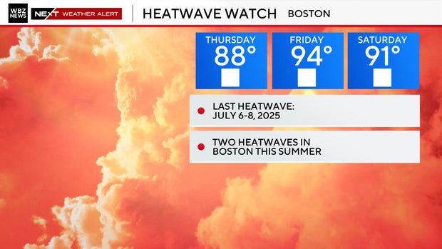
Another heat wave for Boston?
The good news ... once this system moves through, pleasant summer weather is expected to return. Monday and Tuesday look to be filled with sunshine and comfortable, with lower humidity, sunshine, and highs in the upper 70s to low 80s. A perfect stretch to spend some time outside without having to dodge thunderstorms.
90s make their return toward the end of this week.
Stay with the WBZ Weather Team for updates throughout the day and tune in to CBS News Boston for the latest forecasts and live radar.