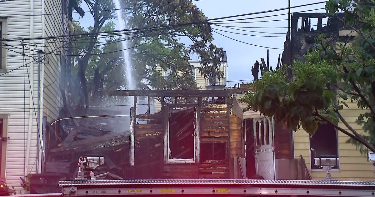
More storms in forecast after New Jersey tornado warning

More storms are possible Thursday in New Jersey, and the rest of the Tri-State Area, after a tornado warning was issued in Atlantic and Ocean counties on Wednesday night.
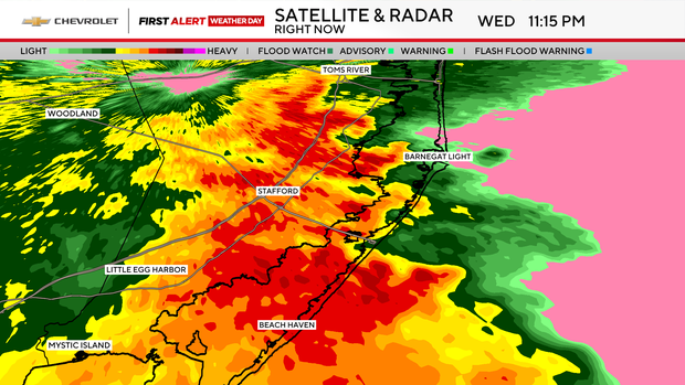
The National Weather Service said a severe thunderstorm capable of producing a tornado was located northeast of Atlantic City at 11:16 p.m. last night. The storm was moving northeast at 40 mph, the NWS said.
The warning was in effect from about 11:05-11:30 p.m. before NWS allowed it to expire. There were no reports of tornado damage and flood concerns later subsided.
Click here to get the latest watches, warnings and alerts from the First Alert Weather Team.
Storm threat returns Thursday
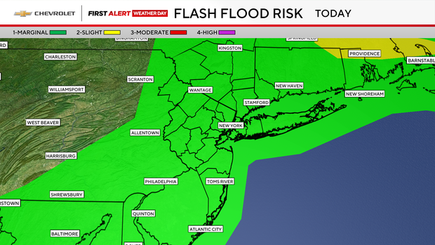
We're back at it Thursday due to the threat of severe thunderstorms and flooding rains. There is a marginal flash flood risk in the entire Tri-State Area, with ponding on roadways and localized flooding possible.
Newer models are trending toward less activity. Therefore, today's First Alert Weather Day has been canceled.
As far as the timing goes, any storms will fire up a little sooner in the afternoon, mainly south of NYC. Then it's hit and miss with things quieting down into the evening.
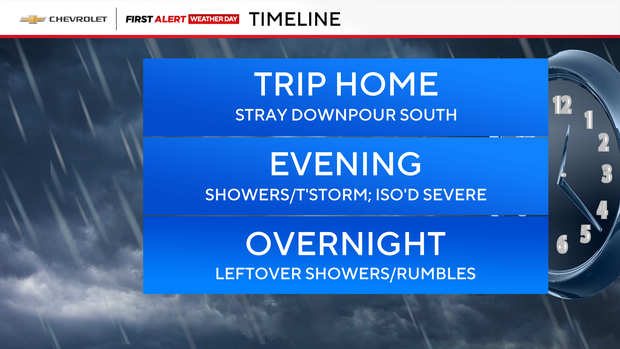
Conditions improve tonight with just a stray shower or two.
Meanwhile, there's another chance of showers and severe thunderstorms on Friday, but it doesn't look very active or widespread. Expect a few pop-up storms, but mainly off to our west.