Extreme Heat Warning in effect from Sunday through Wednesday for the Pittsburgh area

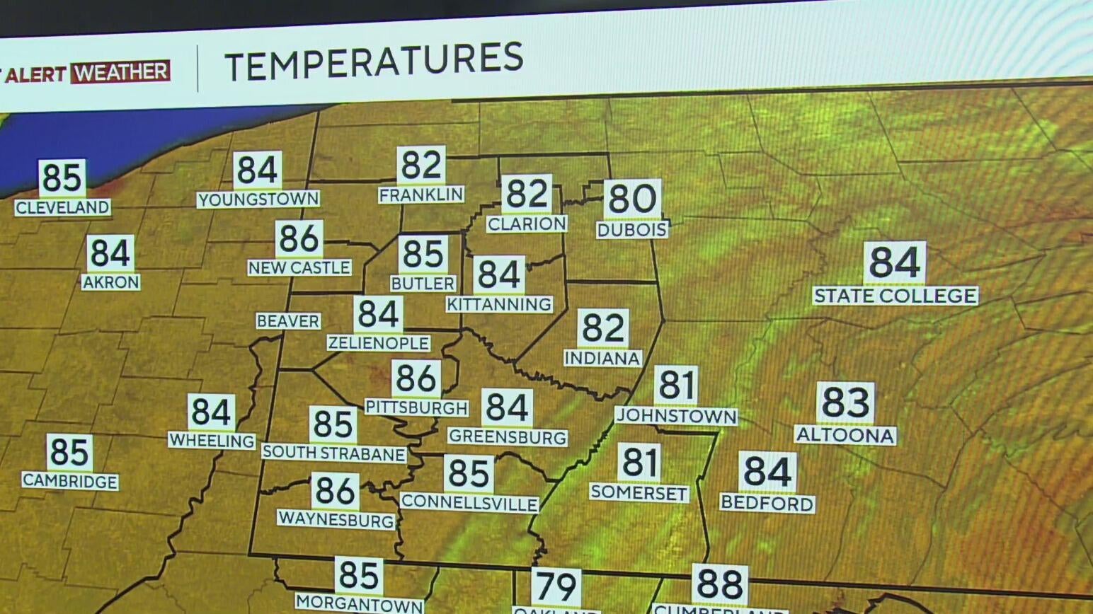
Sunshine and upper 80s welcomed us for the first full day of summer 2025 on Saturday!
Our first bout of excessive heat of the summer builds in starting Sunday as a strong ridge of high pressure aloft in the atmosphere, a.k.a. a "heat dome," shifts from the Central U.S. to the Eastern U.S.

RELATED COVERAGE: Allegheny County issues code red heat advisory due to impending heat wave
The incoming heat will mark our first 90-degree days of the year and the hottest temperatures since last August.
This heat will be accompanied by lots of sunshine to end the weekend and through midweek, but it will also prove to be dangerous with high humidity and heat combining for excessive heat and feels-like temperatures.
Humidity levels will start to increase Saturday afternoon, but will become most noticeable on Sunday. Sunday will likely feature our first 90-degree day of the year, with plenty of opportunities into next week as well.
Most models agree that the core of the heat dome will peak in intensity and park directly over the Ohio Valley and Mid-Atlantic states Monday and Tuesday next week.
The saving grace for the Pittsburgh metro is that our soils are very moist, and the evaporation of this moisture should keep afternoon air temperatures in check-mostly reaching the low to mid 90s. Despite this, it will be extremely humid, and this will lead to heat indices around 100 degrees and hotter from Monday through Wednesday during the afternoon.
While we likely won't see many (if any) high temperature records broken this week, we won't be far off (for example, Sunday's record high sits at 98, and the forecast is for the lower 90s). Overnight lows could reach record warm territory, which will make it very uncomfortable and dangerously hot for those without air conditioning.
Extreme heat is the leading killer of all weather-related hazards, so individuals should take precautions in this upcoming stretch.
As far as rain chances go for this week, we may see a stray shower or storm pop up in the heat of the day on Tuesday, with slightly better chances of showers and storms Wednesday and Thursday as the heat dome starts to break.
Still, we'll flirt with 90 degrees through the end of the week, with some relief in sight next weekend.
WEATHER LINKS:
Current Conditions | School Closings & Delays | Submit Your Weather Photos


